DOWNLOAD MONTHLY SUMMARY
FORM HERE
 
 
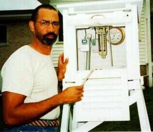
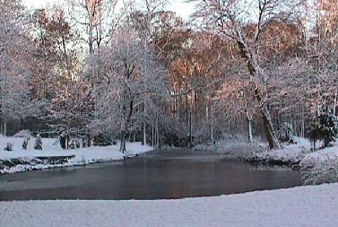
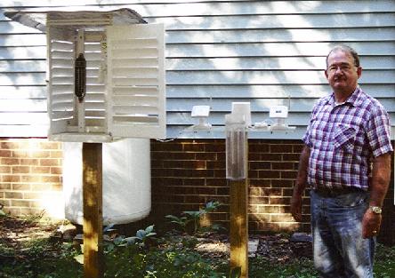
Lowell Koontz instrument shelter
 
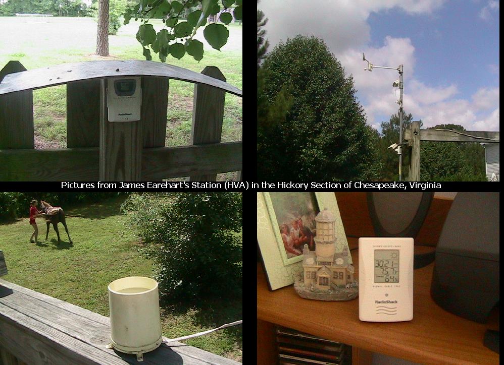
Hickory, Virginia Weather Station
 
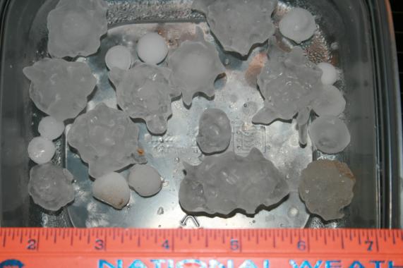
Herndon, Virginia Hail 05/14/10 - Randy Ashby
 
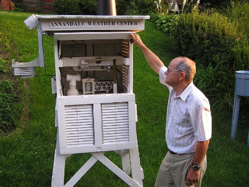
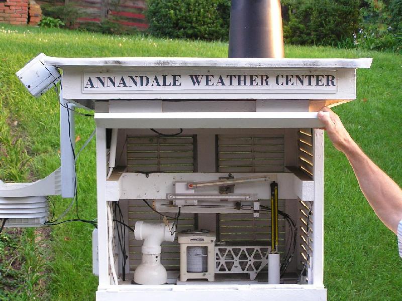
Annandale (ANN) Station
 
NWS Washington/Baltimore
 
Mechanicsville Member Station
 
Centreville Member Station


Web Design by


JUNE 2018

SUMMARIES OF CLIMATOLOGICAL DATA

Virginia

CHT - Chantilly  Russ Topping
HDV - Herndon  Randy Ashby
MEC - Mechanicsville  Glenn Martin
                     file 1    file 2     file 3

CTR - Chesterfield  Albert Arnold
GAV - Glen Allen  Springfield Park  Lowell Koontz
                     Summary  Narrative  Datafile  

NOR - Norfolk  Fox Hall  Jim Fentress
FHC - Norfolk  Ghent Square  Friends of Fred Heutte Foundation
POR - Portsmouth  West Cradock  Bill Trotter
WSH - Washington  Dave Yowell

North Carolina

RAL - Raleigh  Northwestern Wake County  Bob Woodson


Elsewhere

DAV - Davis, WV  Tucker County  Dave Lesher


THE CLIMATE OF CANAAN MOUNTAIN SUMMIT
TUCKER COUNTY, WEST VIRGINIA

Tucker County, West Virginia  Dave Lesher


National Weather Service Data County Warning Areas

LWX - Baltimore/Washington MD/DC

AKQ - Wakefield/Richmond/Norfolk/NE NC

RNK - Blacksburg/Roanoke/Lynchburg VA

RAH - Raleigh/Greensboro/Durham NC

MHX - Newport/Morehead City/Cape Hatteras NC

ILM - Wilmington NC/South Central NC/Coastal SC

GSP - Asheville/Charlotte/Greenville-Spartanburg NC/SC

CAE - Columbia/Orangeburg/ SC

MRX - Morristown/Tri-Cities TN/VA


Since 1995, the Atlantic Coast Observer Network - Virginia/North Carolina/South Carolina, has compiled weather data collected by volunteer cooperative weather observers throughout the states of Virginia, North Carolina, and South Carolina. Each month our members submit their data which is enhanced by data collected from the National Weather Service sites throughout our region as a basis for comparison.

To join our group and submit your data, please contact us at wxr@cox.net


  • REMINDER   All National Weather Service station data listed herein is preliminary and may be subject to change.  The data has not been certified and cannot be used in legal actions.  Only reports certified by the National Climatic Data Center in Asheville, NC can be used for these purposes.


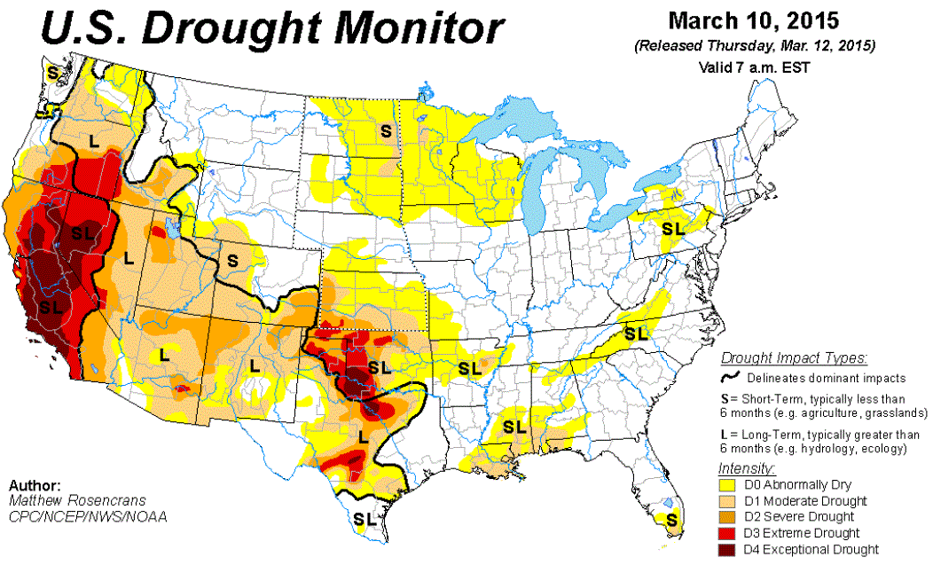
  •    DROUGHT MONITOR       Information on drought can be found at NOAA's Drought Information Center (http://droughtmonitor.unl.edu/)
  •    U.S. DROUGHT PORTAL       Where is the drought this week? (https://www.drought.gov/drought/)


  • (NO JUNE 2018 UPDATE)

    CoCoRaHS -- May is Prime Time for Measuring Rain
    Fort Collins, Colorado -- May 3, 2018


    Click here for an update from Nolan!
    Not yet a participant in CoCoRaHS?

    Check out the full report above and how your weather data matters with a click here!


  • June 22nd, 2018 Richmond Area Flooding (including Louisa)   from NWS Wakefield (AKQ)  "At 8PM EDT on the evening before the flooding rain event, an upper-level low was located over northeastern Missouri. This put our CWA in southwest flow aloft, as vorticity maxima rotated around the upper low." For more details on this event, view the summary report with a click here!

  • Lightning Safety Tips and Resources   from the National Weather Service -   "Lightning strikes the United States about 25 million times a year. Although most lightning occurs in the summer, people can be struck at any time of year. Lightning kills an average of 47 people in the United States each year, and hundreds more are severely injured. This website will teach you how to stay safe and offer insight into the science of lightning." Visit the NWS Website with a click here!

  • Studies Say Atlantic Ocean’s Circulation Hasn’t Been This Sluggish In 1,000 Years   by Chris Mooney of The Washington Post  "The Atlantic Ocean circulation that carries warmth into the Northern Hemisphere’s high latitudes is slowing down because of climate change, a team of scientists asserted, suggesting one of the most feared consequences is already coming to pass." Click here to view the article!

  • The Chesapeake Bay Hasn’t Been This Healthy in 33 Years, Scientists Say    by Darryl Fears of The Washington Post  "For the first time in the 33 years that scientists have assessed the health of the Chesapeake Bay, the nation’s largest estuary showed improvement in every region, a likely sign that a massive federal cleanup plan is working." Article with a click here

  • GOES-East Image Viewer   Visit here https://www.star.nesdis.noaa.gov/GOES/GOES16_CONUS.php to view images from the new GOES-East satellite!

  • National Climate Report - JUNE 2018 -    Visit https://www.ncdc.noaa.gov/sotc/national/201806 to view NOAA's National Climate Reports (with graphs) for June 2018

  • JUNE 2018 NWS STORM REPORTS FOR YOUR STATE   The Storm Prediction Center archives reports of severe weather - tornado, wind, hail - to the National Weather Service. To view these reports, start here with a click to June 2018. While visiting, you will learn how to navigate the daily reports using forward and backward navigation arrows ( < > ) or by replacing the date in your browser's URL line with a date you wish to view. For starters, click here for June 2018 reports: http://www.spc.noaa.gov/climo/reports/180601_rpts.html


  • STATION / LOCATION (MILES & DIRECTION FROM MAIN POST OFFICE)/OBSERVER / YEAR RECORDS BEGAN / EMAIL ADDRESS:
    [ includes current stations, inactive stations, and closed stations since database inception ]
        
    AKQ    Wakefield, VA NWS Wakefield Municipal Airport 36-58-53N 077-00-04W 33M SVC    Seven Corner, Fairfax County, VA John Iekel Latitude 38.857404 Longitude -77.151696
    DCA    Arlington, VA Washington, DC, Reagan Washington National Airport
    38-50-54N 077-02-03W 18M
    WSH   Washington, VA  David Yowell runamok@runamok.com
    BCB    Blacksburg, VA NWS Virginia Tech Airport 37-13N 080-25W   
      WOO  Woodstock, VA 5NW Lauck Walton 12/1/85 STATION CLOSED 08/2014
       LDY Ladysmith, VA Danny Jessee 2003 STATION CLOSED 8/31/2010 danny@dannyjessee.com
    BRI     Bridgewater, VA Clayton Towers Ctowers19@aol.com WAL   Wallops Island, VA 37° 56'26" N 75° 27'47" W Wallops Flight Facility Airport
    CEN  Centreville, VA Paul Bassett 1985,
    38° 50.9788' N LAT. 77° 25.6374' W LON. | Elevation 324' | STATION CLOSED
    AVL    Asheville, NC  Asheville Regional Airport 35-25-55N 082-32-15W 670M
    CHO   Charlottesville, VA  Charlottesville-Albemarle Airport ASOS 
    (Rappahannock County) 38-08-18N 078-27-21W 192M
    MRH    Beaufort, NC  Michael J. Field Airport 34-44-01N 076-39-38W 3M
    DAN  Danville, VA, Danville Regional Airport, 36-34-22N 079-20 10W 175M  CLT    Charlotte, NC NWS Charlotte/Douglas International Airport 35-12-48N 080-56-55W 220M
    IAD   Dulles - Washington-Dulles International Airport  38-56-05N 077-26-51W 93M   
    FCH    Falls Church, VA Erica Page 3/7/94 Windie1970@aol.com HKY  Hickory, NC 
    HAM    Hampton, VA 5NE Dave Kessel 1989 kesseld1@cox.net ECG  Elizabeth City, NC,  Coast Guard Air Station 36-15-47N 076 10-58W 11M
    LYH     Lynchburg, VA NWS Lynchburg Regional Airport 37-19-15N 079-12-24W 295M ILM     Wilmington, NC NWS New Hanover International Airport 34-16-06N 077-54-22W 9M
    CTR  Winterpock in Chesterfield County, VA Albert Arnold 06/03 FAY  Fayetteville, NC Fayetteville Regional Airport, 34-59-22N 078-52-48W 55M
      GSO   Greensboro, NC NWS Piedmont Triad International Airport 36-05-51N 079-56-37W 275M
    CHT   Chantilly, VA Russ Topping -  12/2006  russ.topping@gmail.com HSE   Cape Hatteras, NC  Mitchell Field 35-13-56N 075-27-21W 3M
    HDV    Herndon, VA  Randoplh W. Ashby, 3.3 SM South,
    Lat: 38.922127, Lon: -77.38015, Elev: 390'. 1993 randy_ashby@msn.com
    LBT    Lumberton, NC  Lumberton Municipal Airport 34-36-26N 079-03-36W 37M
    GAV - Glen Allen, Henrico County, VA - Lowell Koontz  8/1/08  wwkoontz@verizon.net EWN    New Bern, NC  Craven County Regional Airport 36-04-03N 077-02-50W 3M
      MON    Moncure, NC  Chatham County - Mac McIlwain mac.mcilwain@embarqmail.com
      RAL    Raleigh, NC 7NNW  Bob Woodson -  6/1/93 kf4mmm@qsl.net
    LKU     Louisa, VA 1N Joseph Bowers 1944 - NWS ID  44-5050-02 STATION CLOSED RDU   Raleigh-Durham, NC Raleigh-Durham International Airport 35-52-14N 078-47-11W 130M
    LOU     Louisa, VA 6S John Bullock (about 1970) STATION CLOSED ROX    Roxboro, NC 2SE Merriell A. Jay 1/93 ending 12/13
         WHI   North Whiteville, NC Christopher Crawley 12/10 34.413744N / 078.751908W ccawley.kk4csr@gmail.com
    LYH     Lynchburg, VA NWS Lynchburg Regional Airport 37-19-15N 079-12-24W 295M ILM     Wilmington, NC NWS New Hanover International Airport 34-16-06N 077-54-22W 9M
    NEW    Newmarket, VA 2W Joyce Winfree STATION CLOSED 5/31/10 CHS   Charleston, SC NWS Charleston Air Force Base 32-53-56N 080-02-26W 13M
      CXM    Downtown Charleston, SC NWS 32.77° N 79.93 W
    NPN     Newport News, VA 7N Gary Leonard -  6/91 mikey0781@cox.net CAE    Columbia, SC NWS Columbia Metropolitan Airport 33-56-31N 081-07-05W 73M 
    NOR     Norfolk, VA 3NE Jim Fentress 6/1/77 FLO    Florence, SC Florence Regional Airport 34-11-16N 079-43-51W 44M
    ORF     Norfolk, VA 5NE 36-54-13N 076-11-31W 14M  1871 GSP   Greenville-Spartanburg, SC NWS Greenville-Spartanburg Airport 34-53-02N 082-13-15W 286M 
    POR     Portsmouth, VA 36.81° North 76.33° West 3S Bill Trotter -  7/1/76 wxr@cox.net CRE    North Myrtle Beach, SC Grand Strand Airport 33-48-42N 078-43-26W 10M
    MEC     Mechanicsville, VA Glen Martin 11/19/91 OGB   Orangeburg, SC  Orangeburg Municipal Airport 33-27-50N 080-51-13W 59M
    FHC    Norfolk, VA  Fred Heutte Center 36° 54'N 76° 16'W 01/01/03 fhcgarden@cox.net AND   Anderson, SC 
    RIC     Richmond, VA Richmond International Airport 37-30-40N 077-19-24W 50M TRI     Tri-cities, TN  (Bristol / Johnson / Kingsport), Tri-City Regional Airport 36-28-47N 082-23-56W 474M 
    ROA    Roanoke, VA Roanoke Regional Airport 37-19-01N 079-58-27W 362M DAV  Davis, WV Dave Lesher canaanwx@yahoo.com